
In 2009, a group of geologists voted on what caused a strange circular formation beneath the North Sea. Most of them got it wrong.
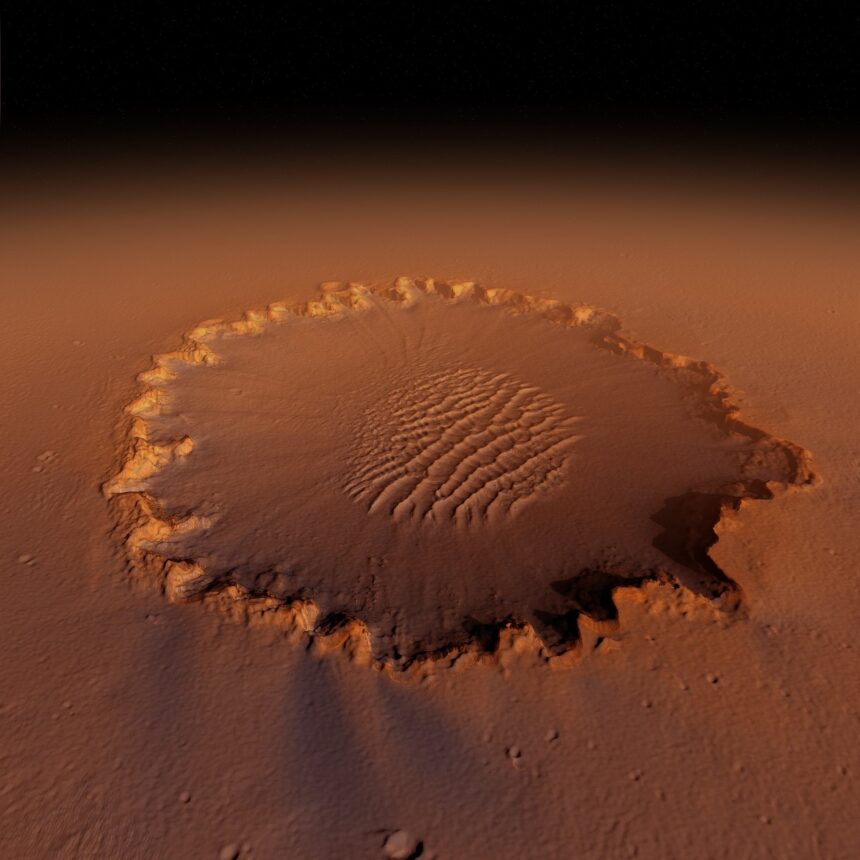
The structure in question is the Silverpit Crater, sitting roughly 700 meters below the seabed, about 80 miles off the coast of Yorkshire. Since its identification in 2002, the formation divided the scientific community. Its round shape, central peak, and surrounding ring of concentric faults spanning roughly 20 kilometers were consistent with a known impact crater. But competing theories persisted — underground salt migration, volcanic collapse — and by 2009, the asteroid explanation had been formally outvoted.
New research has now overturned that verdict entirely.
A team led by Dr. Uisdean Nicholson of Heriot-Watt University in Edinburgh combined fresh seismic imaging, microscopic rock analysis, and computer modeling to settle what nearly two decades of argument could not. The study, supported by the Natural Environment Research Council, appears in the journal Nature Communications.
The Minerals That Ended the Argument
The decisive evidence came from an oil well drilled in the area. Samples retrieved from the same depth as the crater floor contained shocked quartz and feldspar crystals — rare minerals that form only under the extreme pressure generated by a high-velocity impact. “We were exceptionally lucky to find these — a real ‘needle-in-a-haystack’ effort,” Dr. Nicholson said. “These prove the impact crater hypothesis beyond doubt, because they have a fabric that can only be created by extreme shock pressures.”
The seismic imaging, described by the team as offering an unprecedented view of the structure, provided the spatial detail. The shocked minerals provided the physical proof. Together, they confirmed that the 3-kilometer-wide crater formed when an asteroid struck the region approximately 43 to 46 million years ago.

A 1.5-Kilometer Wall of Rock and Water
The impactor, according to the study, was approximately 160 meters wide and hit the seabed at a low angle from the west. The consequences were immediate and extreme. “Within minutes, it created a 1.5-kilometer high curtain of rock and water that then collapsed into the sea, creating a tsunami over 100 meters high,” Dr. Nicholson said.
That wave — more than 330 feet tall — would have radiated outward across the region from the point of impact on the southern North Sea floor.
Professor Gareth Collins of Imperial College London, who attended the original 2009 debate and contributed the numerical simulations used in the new study, had maintained his position across the years. “I always thought that the impact hypothesis was the simplest explanation and most consistent with the observations,” he said. “It is very rewarding to have finally found the silver bullet. We can now get on with the exciting job of using the amazing new data to learn more about how impacts shape planets below the surface, which is really hard to study.”
The Silverpit Crater now joins a short list of confirmed impact structures on Earth — resolved not by consensus, but by minerals that pressure alone can make.
Photo by Pixabay
This article is a curated summary based on third-party sources. Source: Read the original article