
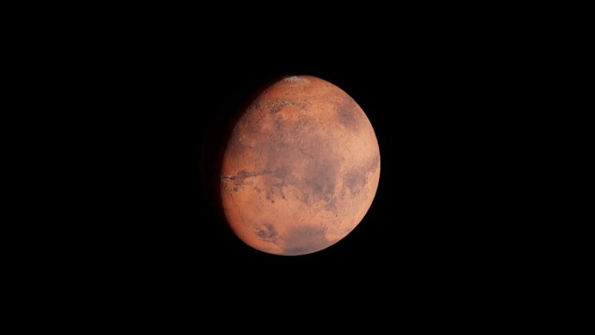
NASA’s Curiosity rover has captured close-up images of sprawling, web-like rock formations on the slopes of Mount Sharp inside Gale Crater, providing scientists with their clearest ground-level view yet of structures that have long intrigued researchers observing Mars from orbit.
The formations belong to a category known as boxwork — networks of low ridges standing roughly 3 to 6 feet tall, separated by sandy hollows. From orbit, the intersecting ridges resemble a massive spiderweb stretched across the Martian surface. Curiosity has been traversing this region for months, and on September 26, 2025, the rover captured a detailed panorama using its Mastcam instrument, giving scientists an unprecedented look at the terrain up close.
The leading scientific explanation for how these structures formed involves ancient groundwater. As water circulated through fractures in the rock billions of years ago, it deposited minerals that hardened certain zones. Wind erosion then gradually stripped away the softer surrounding material over geological timescales, leaving behind the tougher lattice of ridges. The formations suggest that liquid water persisted near the Martian surface later in the planet’s history than previously understood, which carries implications for how long Mars may have maintained conditions capable of supporting microbial life.
Until Curiosity reached the area, the actual structure and origin of these formations could only be theorized. Orbital images showed their scale and pattern, but ground-level confirmation required a rover. Getting that confirmation was not straightforward. Mission drivers had to navigate the nearly one-ton vehicle along ridgelines barely wider than the rover itself, while also managing the risks of descending into sandy hollows where wheel slippage presented a genuine operational concern.
“It almost feels like a highway we can drive on,” said Ashley Stroupe, an operations systems engineer at NASA’s Jet Propulsion Laboratory. “But then we have to go down into the hollows, where you need to be mindful of Curiosity’s wheels slipping or having trouble turning in the sand. There’s always a solution. It just takes trying different paths.”
Once the rover reached the formations, closer inspection revealed something unexpected. Pea-sized mineral nodules — another known indicator of past groundwater activity — were embedded throughout the ridges and hollow floors. Scientists had expected these nodules to be concentrated near central fractures, which would align with standard models of how minerals precipitate as groundwater moves through rock. Instead, the nodules appeared scattered along ridge walls and across depressions. That distribution offers new data on how water and dissolved minerals interacted across the broader terrain as Mars dried out billions of years ago.
Mount Sharp itself is a layered geological archive. At roughly 3 miles tall, each stratum of the mountain encodes a different period of Mars’ ancient climate history. Curiosity’s ongoing ascent through these layers has been building a sequential record of environmental change, and the boxwork region represents one more chapter in that record — one that appears to extend the timeline of when water was actively shaping the planet’s geology.
The rover’s findings from this region will contribute to the broader scientific effort to reconstruct Mars’ habitability history, informing both current research and the planning of future missions designed to search for signs of ancient life.
Photo by Zelch Csaba on Pexels
Source: Original reporting